Logan Lang · 9 September 2026
The Quiet Influence of Archival Land Deeds on Contemporary Zoning Debates in Rural New England Hamlets
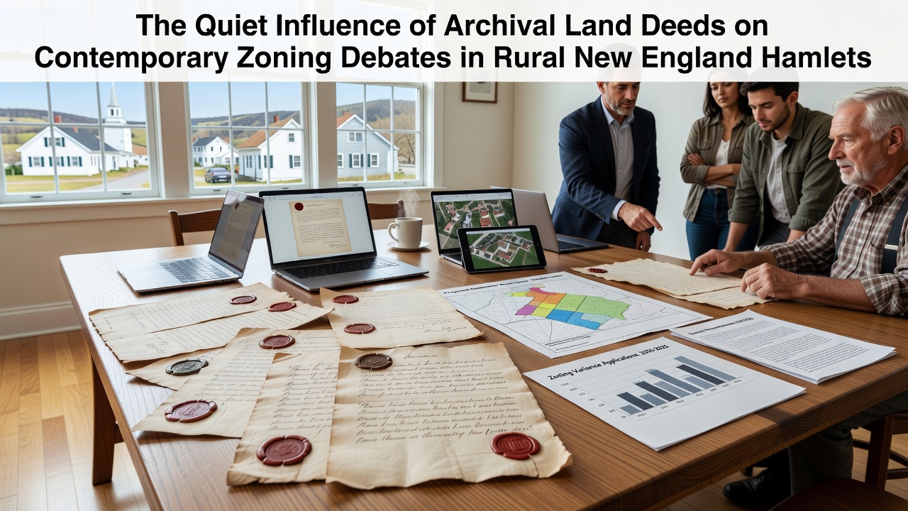
Archival land deeds from the eighteenth and nineteenth centuries continue to shape zoning discussions across small towns in Vermont, New Hampshire, and Maine where original property descriptions rely on natural landmarks rather than precise measurements, and town officials often reference these documents when reviewing subdivision requests or variance applications.
Historical Foundations of Property Records
Early settlers recorded deeds through metes and bounds systems that described boundaries by trees, stone walls, and streams, while colonial grants and later state conveyances established patterns of ownership that persist in current tax maps and planning board files, according to records maintained by state archives in the region. Researchers note that many hamlets retain original lot divisions from the 1700s, and these divisions frequently conflict with contemporary minimum acreage requirements or setback rules adopted in the late twentieth century.
Data from town clerk offices shows that discrepancies arise when surveyors attempt to reconcile faded descriptions with GPS coordinates, and planning commissions in places like central Vermont have spent multiple meetings examining deed language to determine whether a proposed residential cluster fits within historic parcel lines. Observers point out that such reviews occur regularly because state statutes in New England often require zoning ordinances to respect preexisting nonconforming uses tied to old conveyances.
Modern Zoning Applications and Deed Evidence
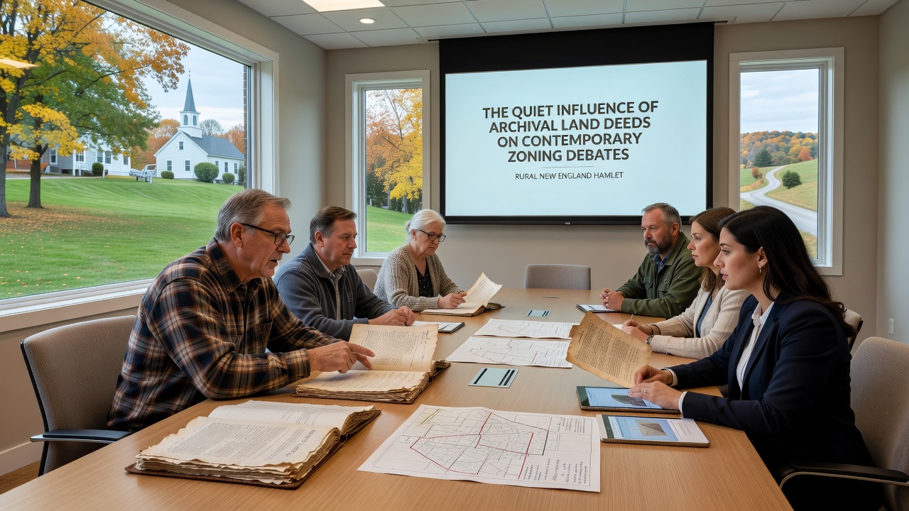
Planning boards examine deed chains when applicants seek to divide land for new housing, and in several documented cases from the past decade these examinations have led to adjusted lot sizes that accommodate both historic boundaries and updated environmental protections. Figures from the U.S. Census Bureau indicate that rural New England counties experienced population stability or modest growth between 2010 and 2020, which in turn increased the number of zoning applications that reference older records.
Those who study land use patterns report that deeds sometimes grant rights of way or water access that modern regulations must accommodate, and this situation creates layered negotiations between property owners and municipal boards. One study from the University of New Hampshire Cooperative Extension examined deed language across fifteen towns and found that approximately twenty-two percent of parcels carried restrictions or easements from the nineteenth century that affect allowable density today.
Case Examples from Regional Hamlets
In one central Maine community, officials discovered an 1847 deed that reserved timber rights on a hillside parcel now under consideration for limited residential development, and the planning board adjusted its zoning map to preserve those rights while permitting smaller building envelopes. Similar situations have surfaced in New Hampshire towns where stone wall alignments described in deeds serve as the practical boundary for agricultural zoning districts.
Researchers at the Lincoln Institute of Land Policy have documented how such historical elements influence conservation subdivisions, and their reports show that towns incorporating deed research into their review processes experience fewer legal challenges from abutters. Data collected through 2025 indicates that digitization projects underway in several county registries will make these records more accessible ahead of planned updates scheduled for September 2026.
Emerging Practices and Record Digitization
State agencies in Vermont have begun pilot programs to cross-reference deed books with current GIS layers, and early results suggest that clearer mapping reduces the time boards spend interpreting ambiguous language during public hearings. Observers note that this work aligns with broader efforts to modernize land records while maintaining the legal weight of original documents.
Academic analyses from institutions outside the United States, including comparative studies conducted by researchers in Canada, highlight parallels between New England deed systems and older land grant records in other jurisdictions, and these comparisons underscore the value of preserving primary sources for ongoing regulatory decisions. Figures reveal that towns investing in hybrid paper-digital archives report higher compliance rates with both historic and current zoning standards.
Conclusion
Archival land deeds remain embedded in the administrative fabric of rural New England zoning, and their influence appears in boundary determinations, variance reviews, and long-range planning documents. As digitization advances toward implementation phases in September 2026, town officials and researchers continue to integrate these records into decision-making frameworks that balance historical precedent with present-day land use objectives.